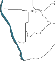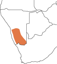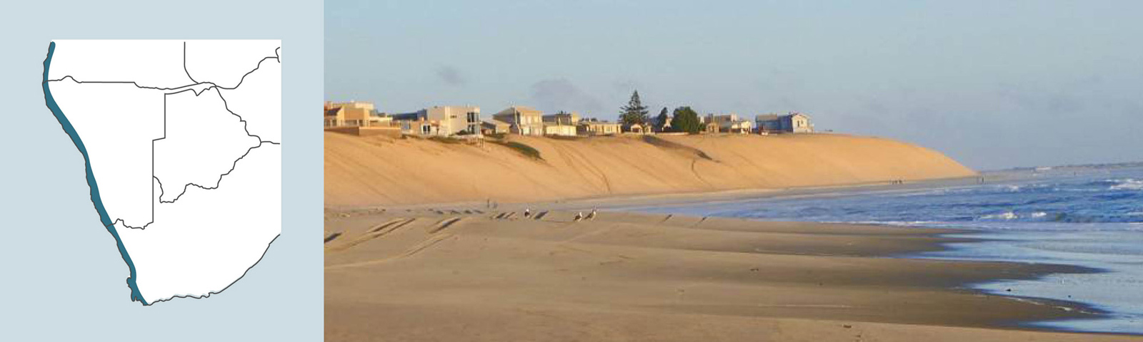
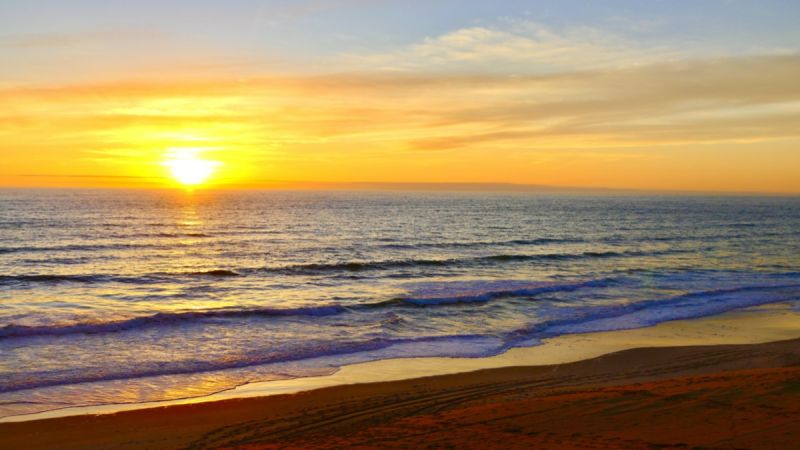
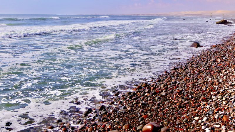
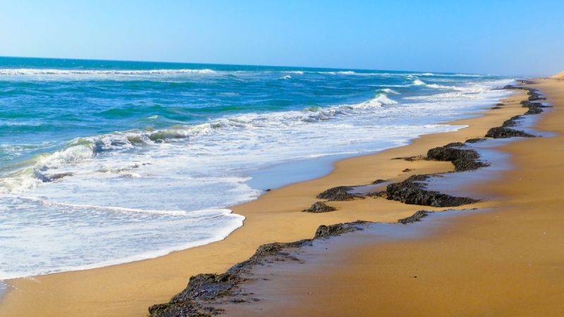
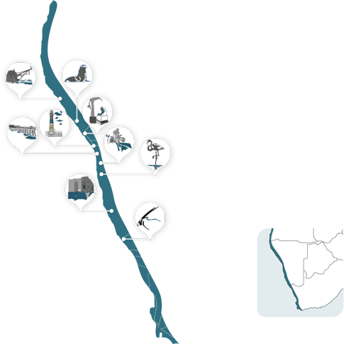
From the diamond-rich Sperrgebiet in the south to the inhospitable coastline of the Skeleton Coast, the Namibian coastline along the cold Atlantic ocean is an ideal holiday and tourist destination.
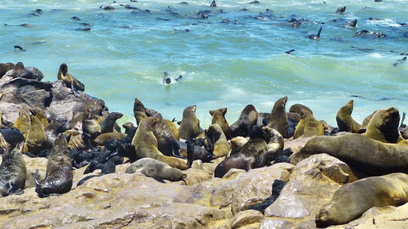
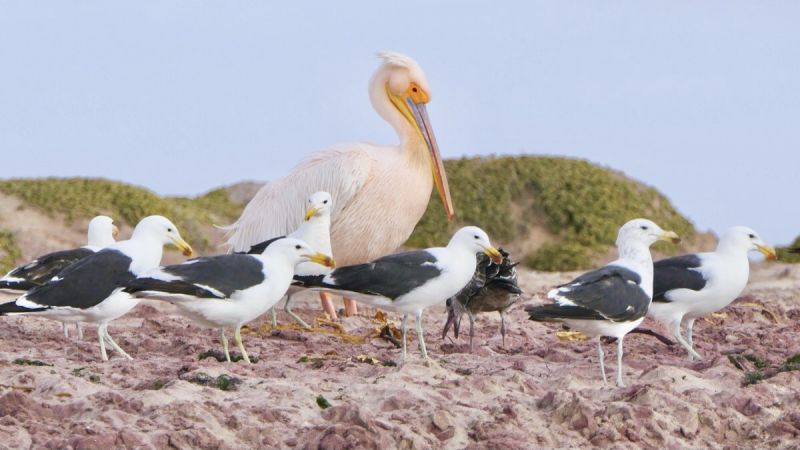
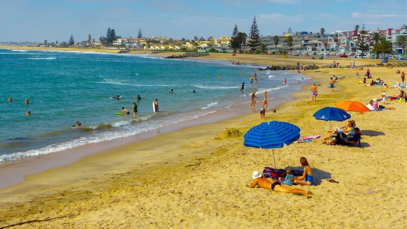
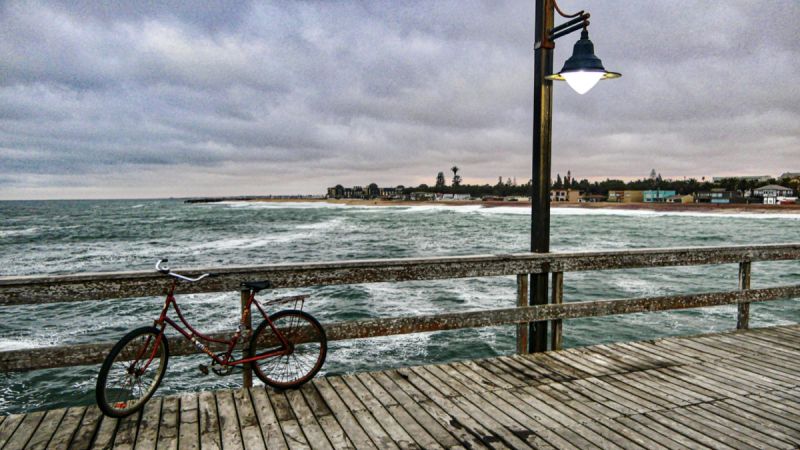
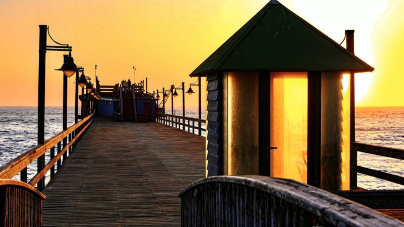
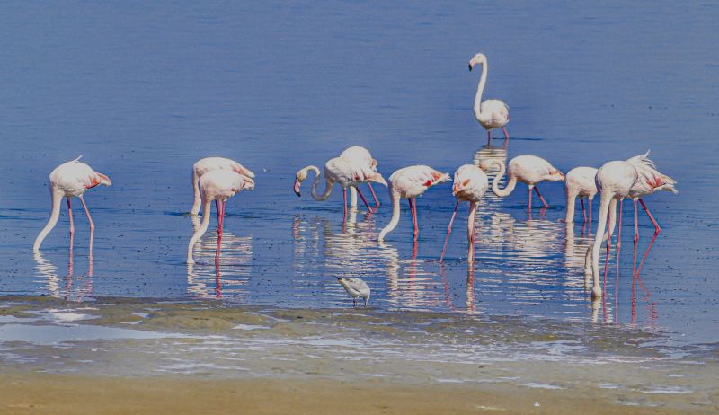
The coastal towns offer many different types of accommodation facilities. Walvis Bay is seen as the gateway to central and Southern Africa due to its port. A natural lagoon, which is a RAMSAR protected site, hosts thousands of flamingoes and other sea birds.
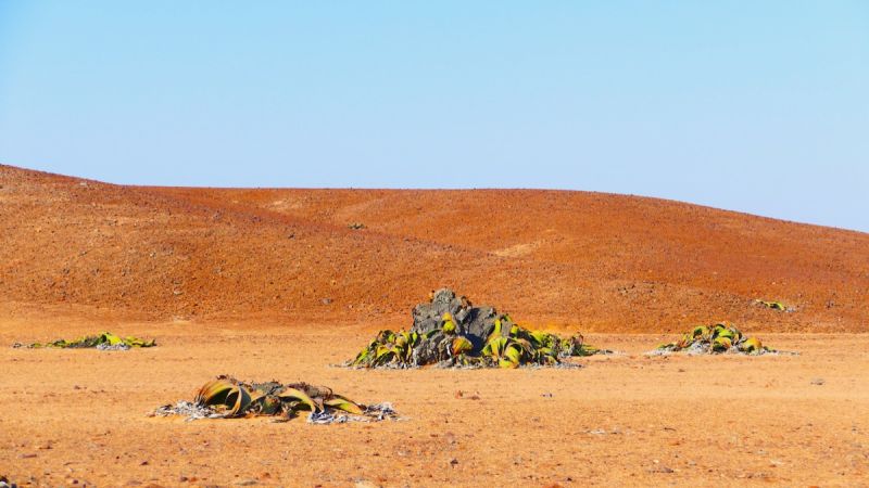
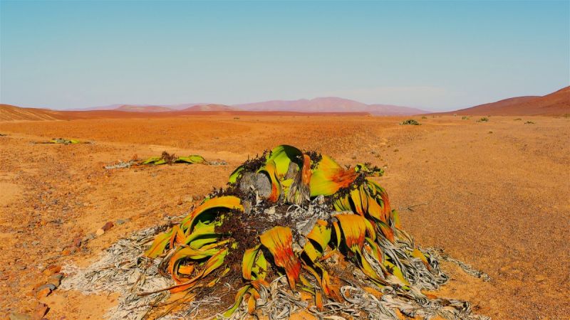
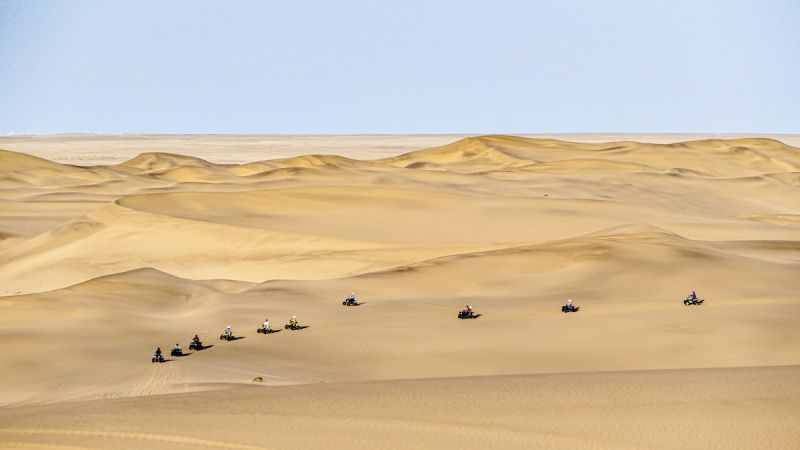
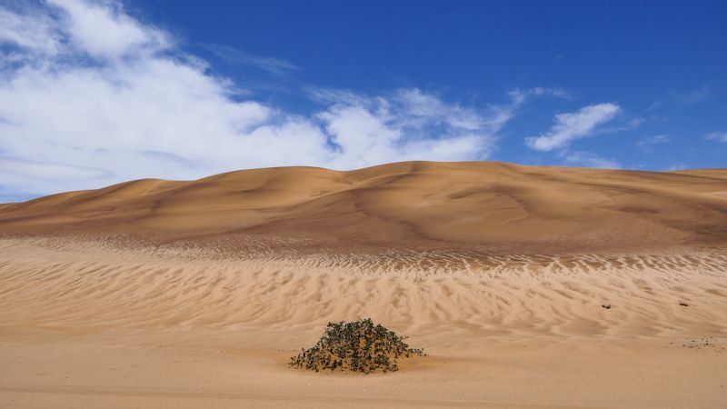
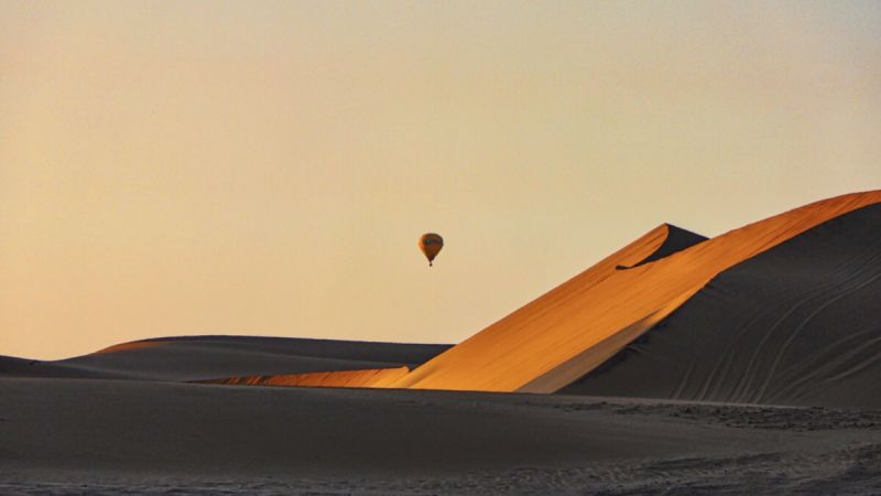
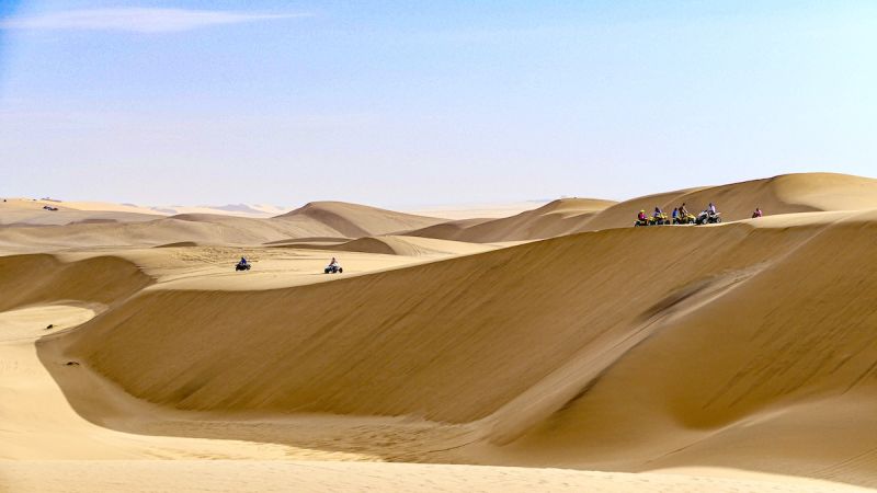
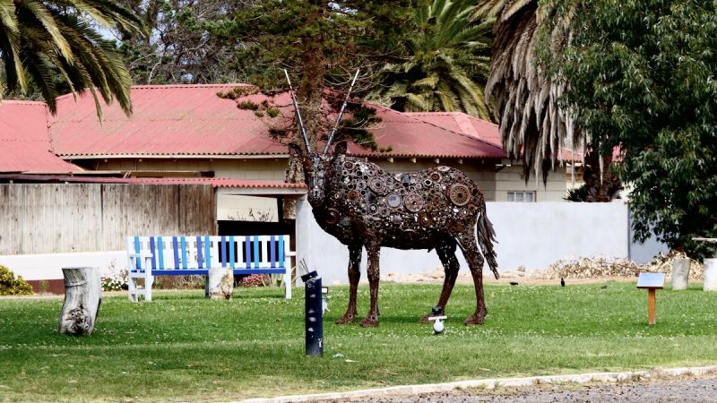
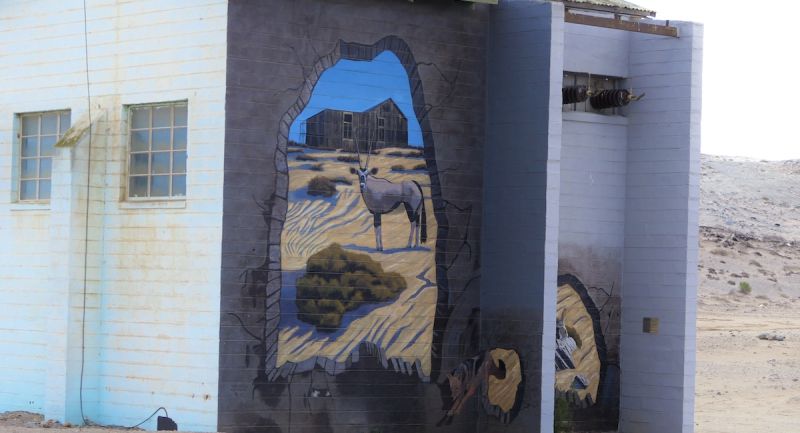
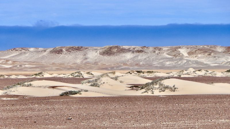
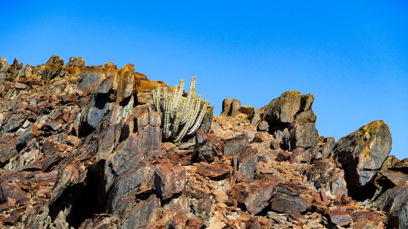
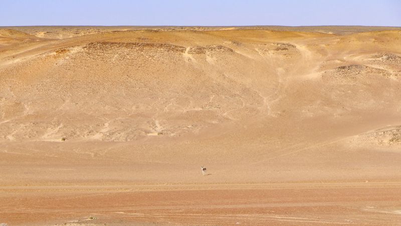
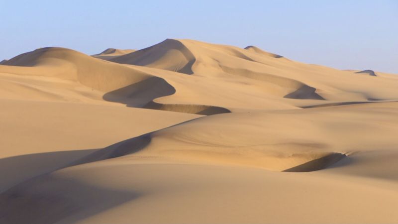
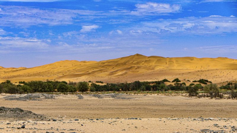
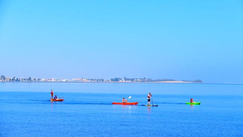
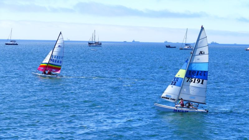
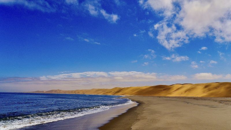
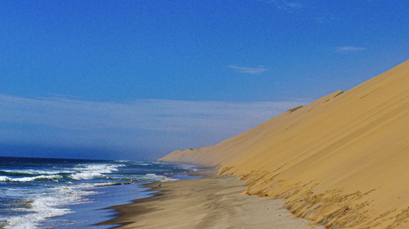
The Namib Desert exhibits astounding plant, insect and animal life that have uniquely adapted to this age-old landscape of sand. The Atlantic Ocean exhibits interesting marine excursions, eg. boat cruises, kayak rowing, surf & boat angling.
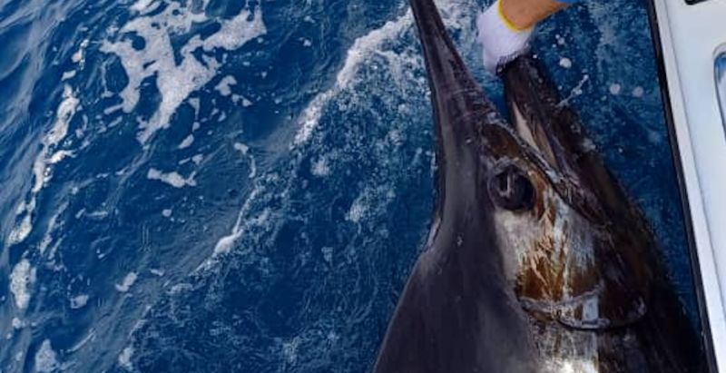
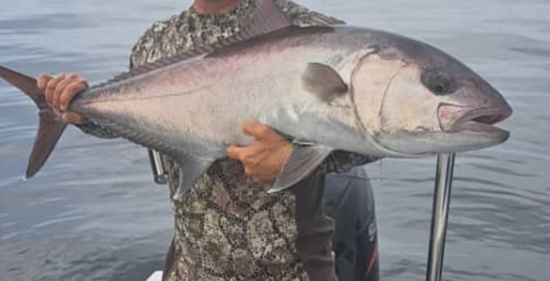
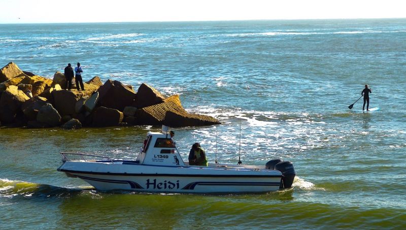
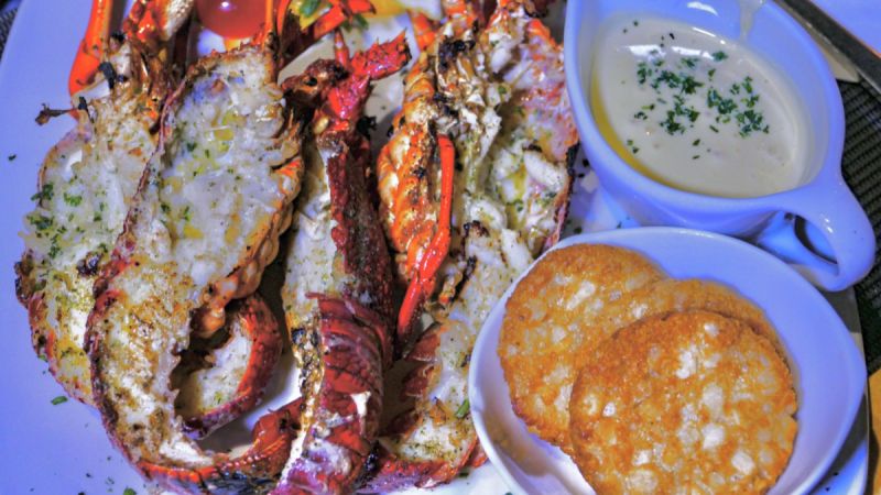
One of the main attractions of Namibia's coast is its outstanding angling potential, whether from the beach or off small boats, and diving for rock lobster. Popular species are kabeljou, galjoen, blacktail, steenbras, geelbek and white stumpnose.
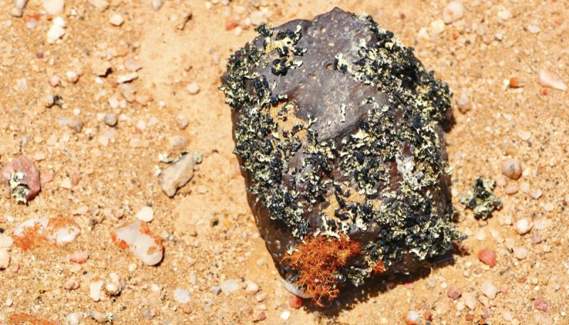
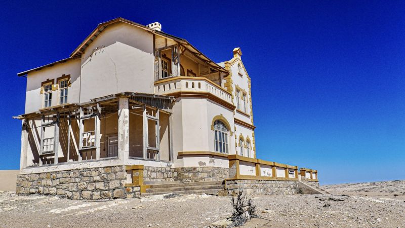
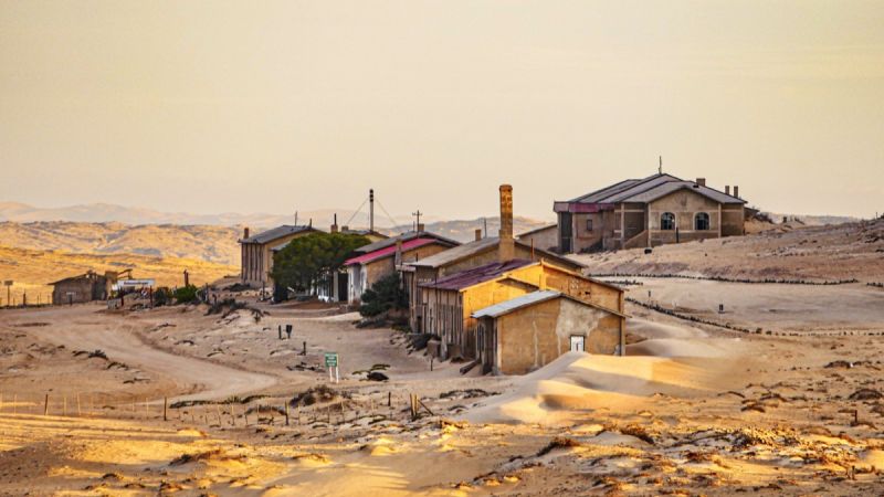
Diamonds were discovered in the early 1900's and due to the great diamond boom, the luxurious town of Kolmanskop was built, today a ghost town. Later, more diamonds and a richer field were found further south and it was then that Kolmanskop was deserted and became the ghost town as it is today.
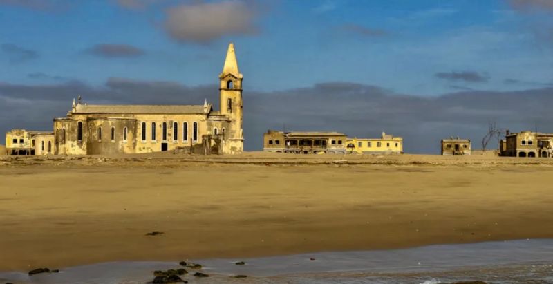
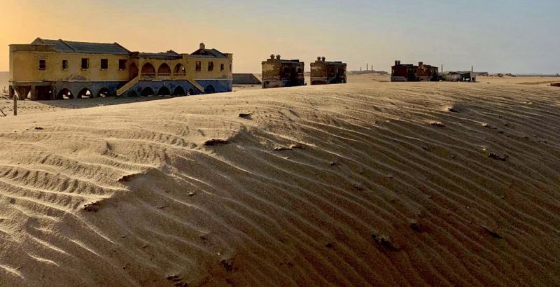
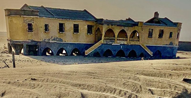
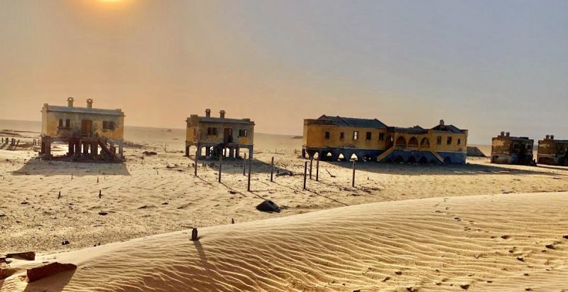
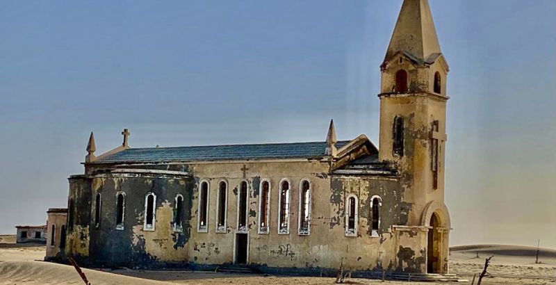
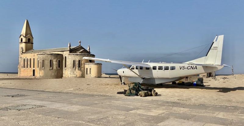
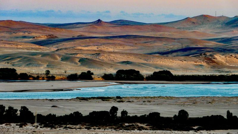
 Baia dos Tigres
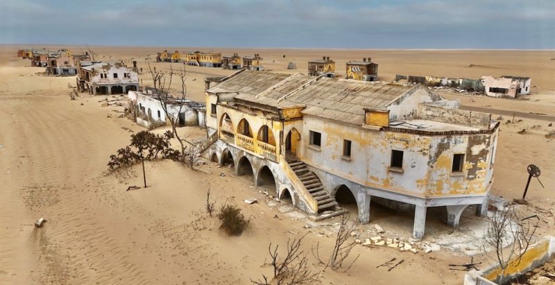

 Cape Cross
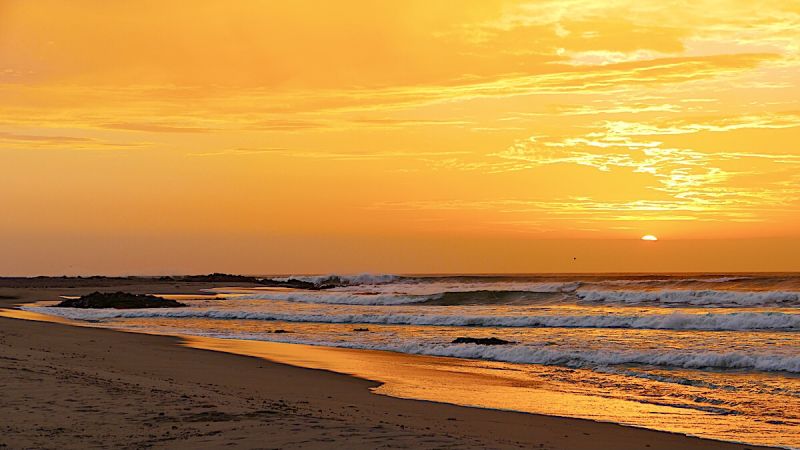
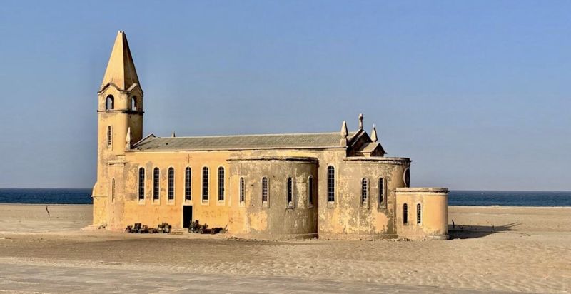
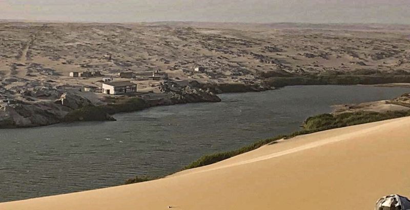
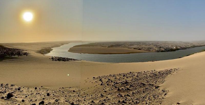
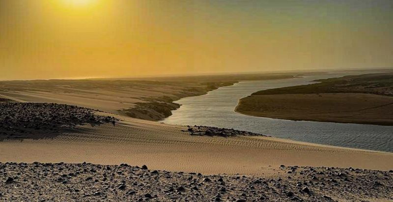
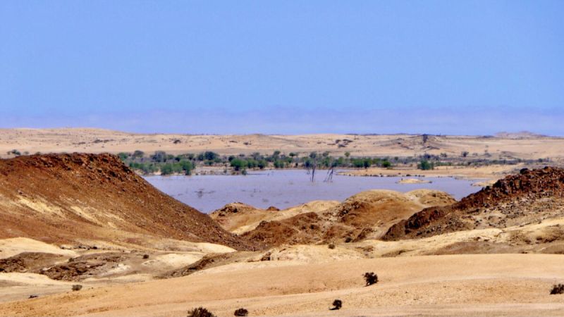
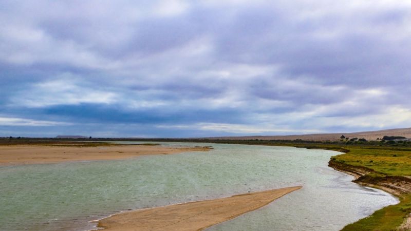
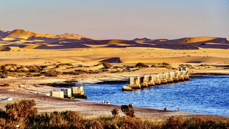
 Foz do Cunene
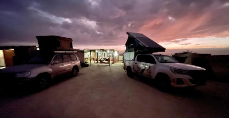
 Hentiesbay
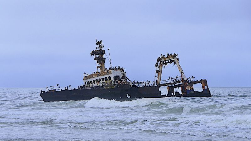
 Lobito
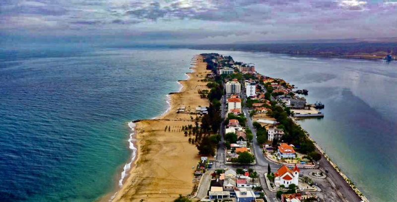
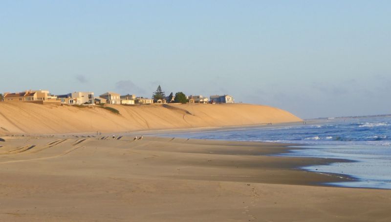
 Longbeach
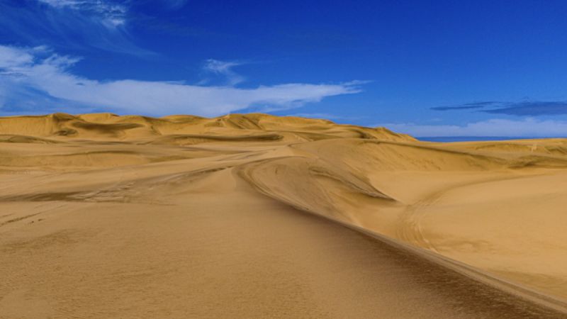
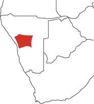
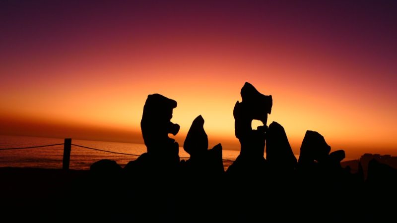
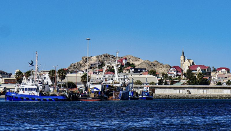
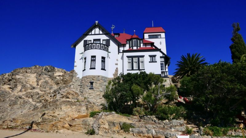
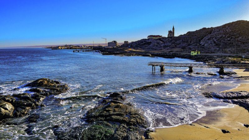
 Lüderitz
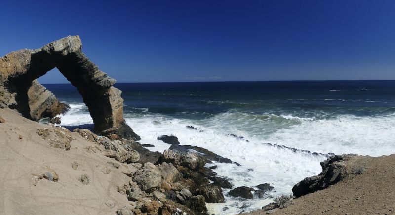
 Oranjemund
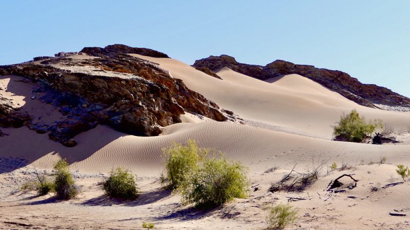
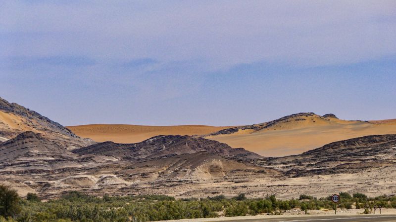
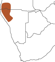
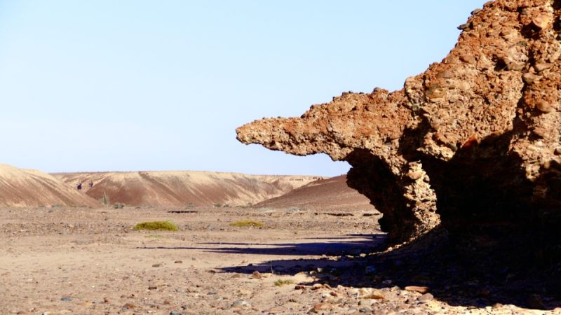
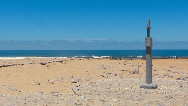
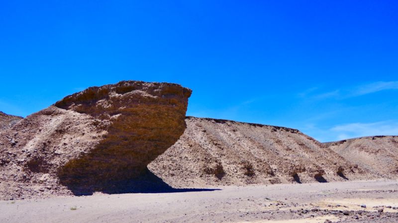
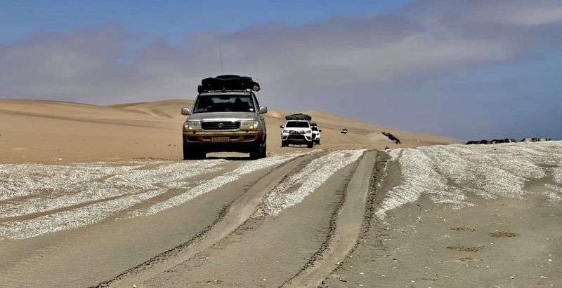
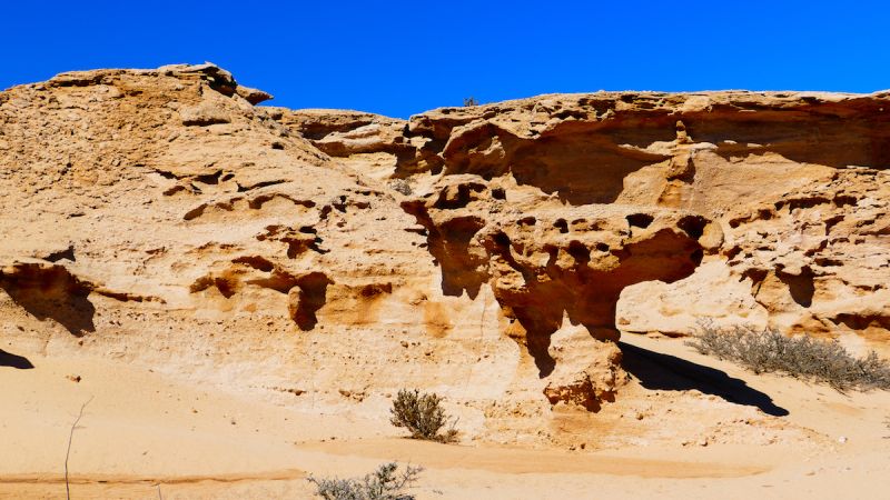
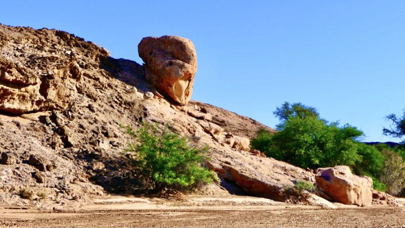
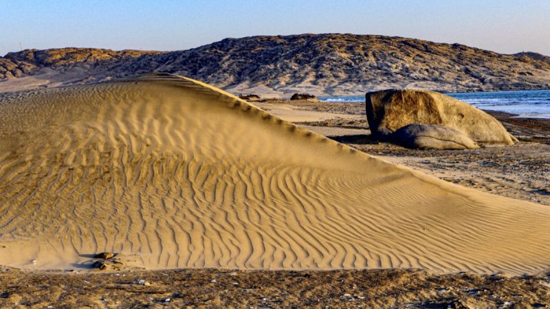
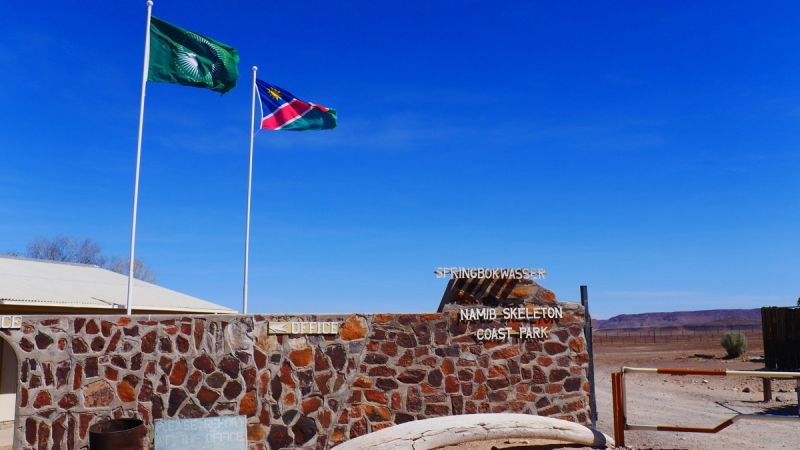
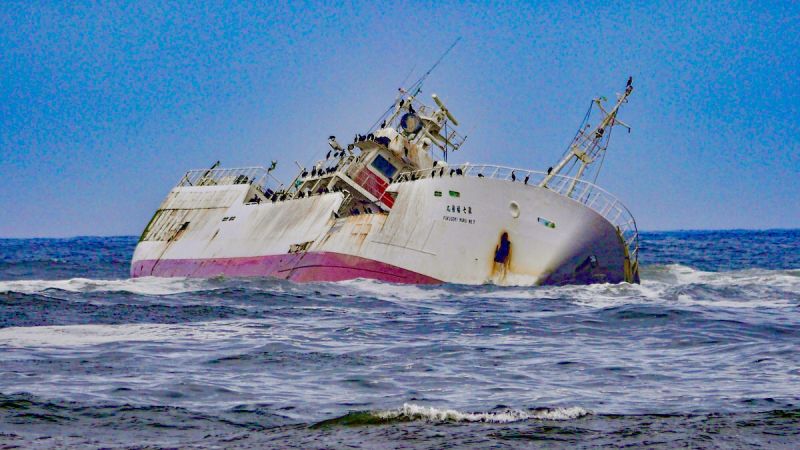
 Skeleton Coast
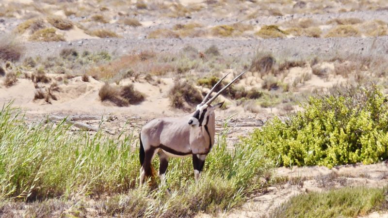
 Swakopmund North
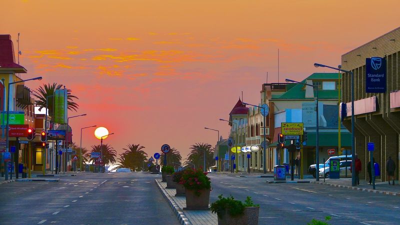


 Swakopmund South
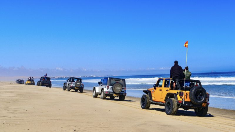
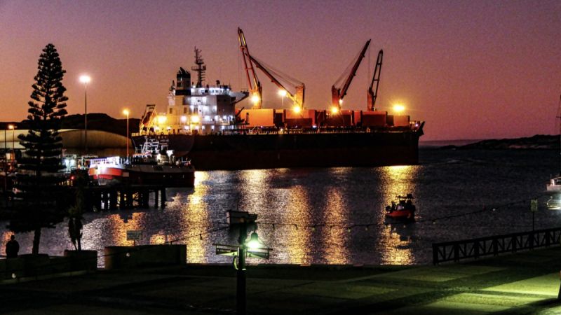
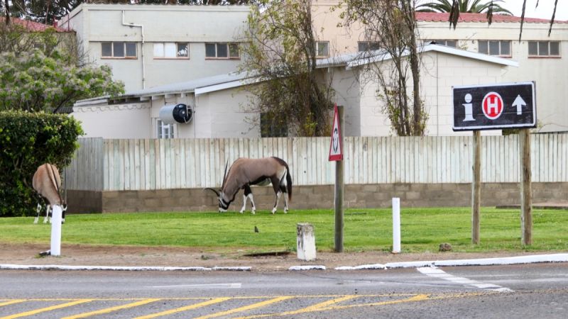
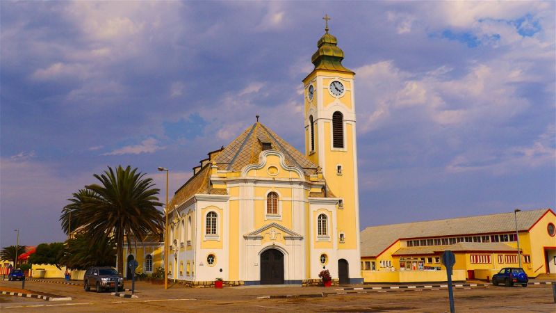
 Walvis Bay
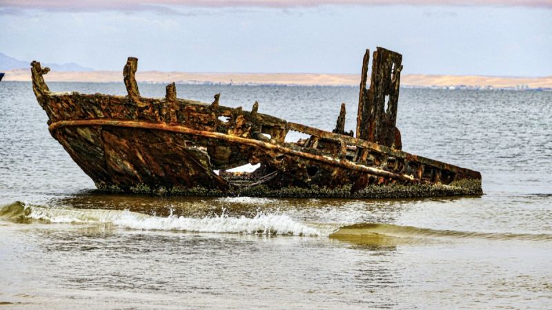
Large Elephant Herd
Elephant heard
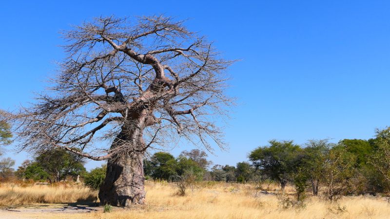
Young Baobab tree
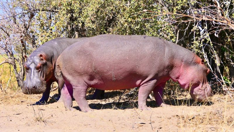
Hippos